
Western Washington lowlands face potential snow Friday, capping a week of storms.
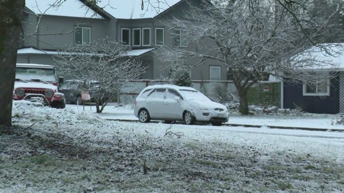
SEATTLE — Western Washington could see around an inch of wet, slushy snow by Friday morning, capping off a stormy week that brought widespread power outages across the Puget Sound and a blizzard to the mountains.
Thursday evening, forecasters observed roughly an inch of snow accumulation in parts of Snohomish and Whatcom counties. Additional lowland snow remained possible Friday morning, primarily before 10 a.m.
The KING 5 First Alert Weather Team is tracking the system closely and will update once they know more.
RELATED: The recipe for snowfall in Seattle
While lowland snow and the potential for more remain spotty, forecasters say the mountains are a different story. One to two feet of accumulation remain possible along mountain passes through Friday.
A weak atmospheric river was expected to hover over western Washington for at least a matter of days; however, forecasters say snow will likely turn to rain by Saturday.
With a second storm to follow, an excess of moisture could lead to minor river flooding next week, especially in the south Sound, forecasters say.